About LiDAR
Our advanced LiDAR solutions are designed to meet diverse surveying needs. We specialize in vehicle-mounted, backpack-mounted, and drone-mounted LiDAR systems, offering unparalleled precision and efficiency for various applications.
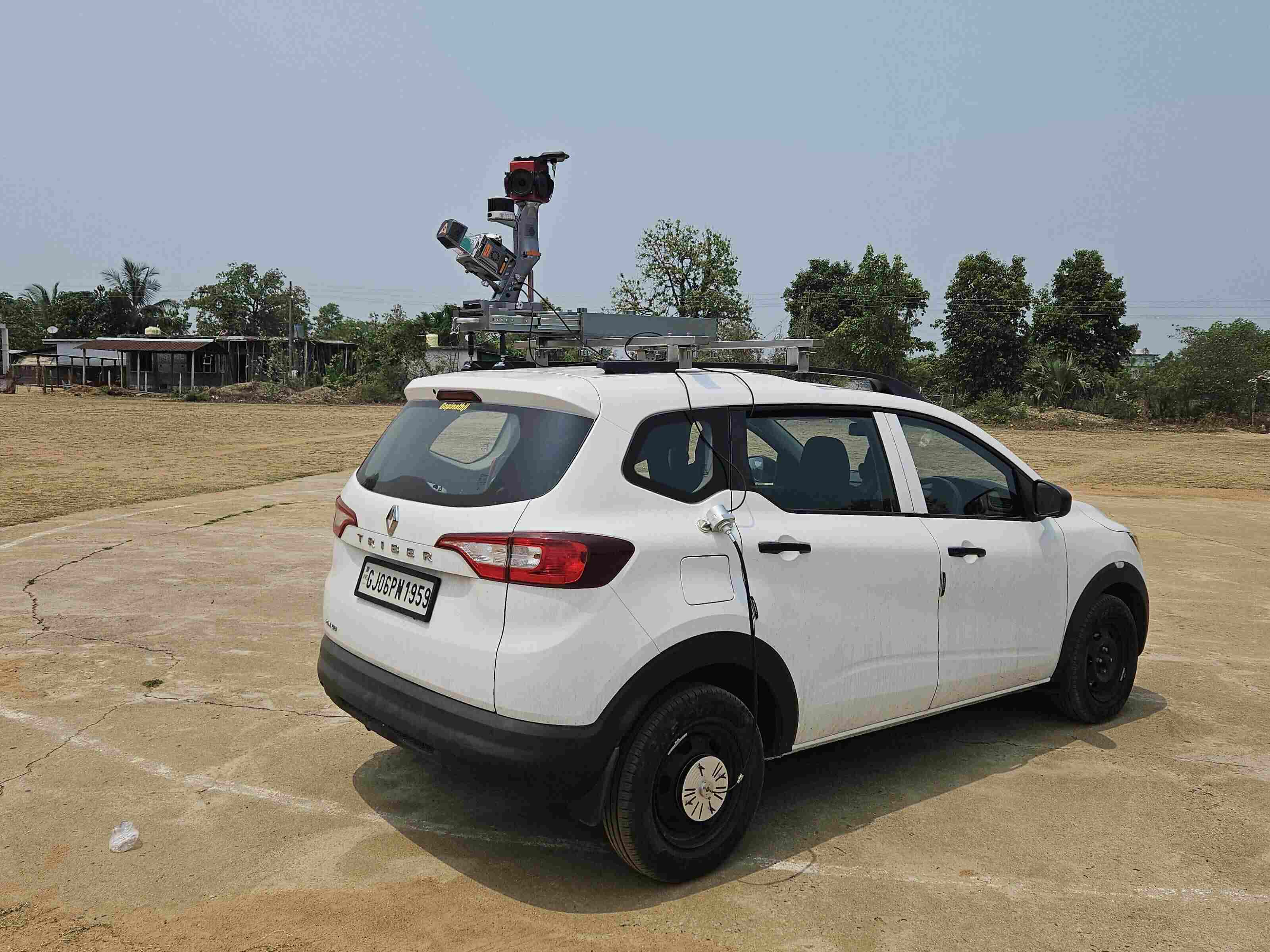
Vehicle:
Our vehicle-mounted LiDAR systems are engineered for high-speed, large-area data collection, ideal for urban mapping, road inspections, and infrastructure management. Utilizing advanced sensors, our vehicle-mounted LiDAR captures high-resolution 3D data, ensuring accurate and comprehensive analysis of road conditions, building structures, and environmental features.
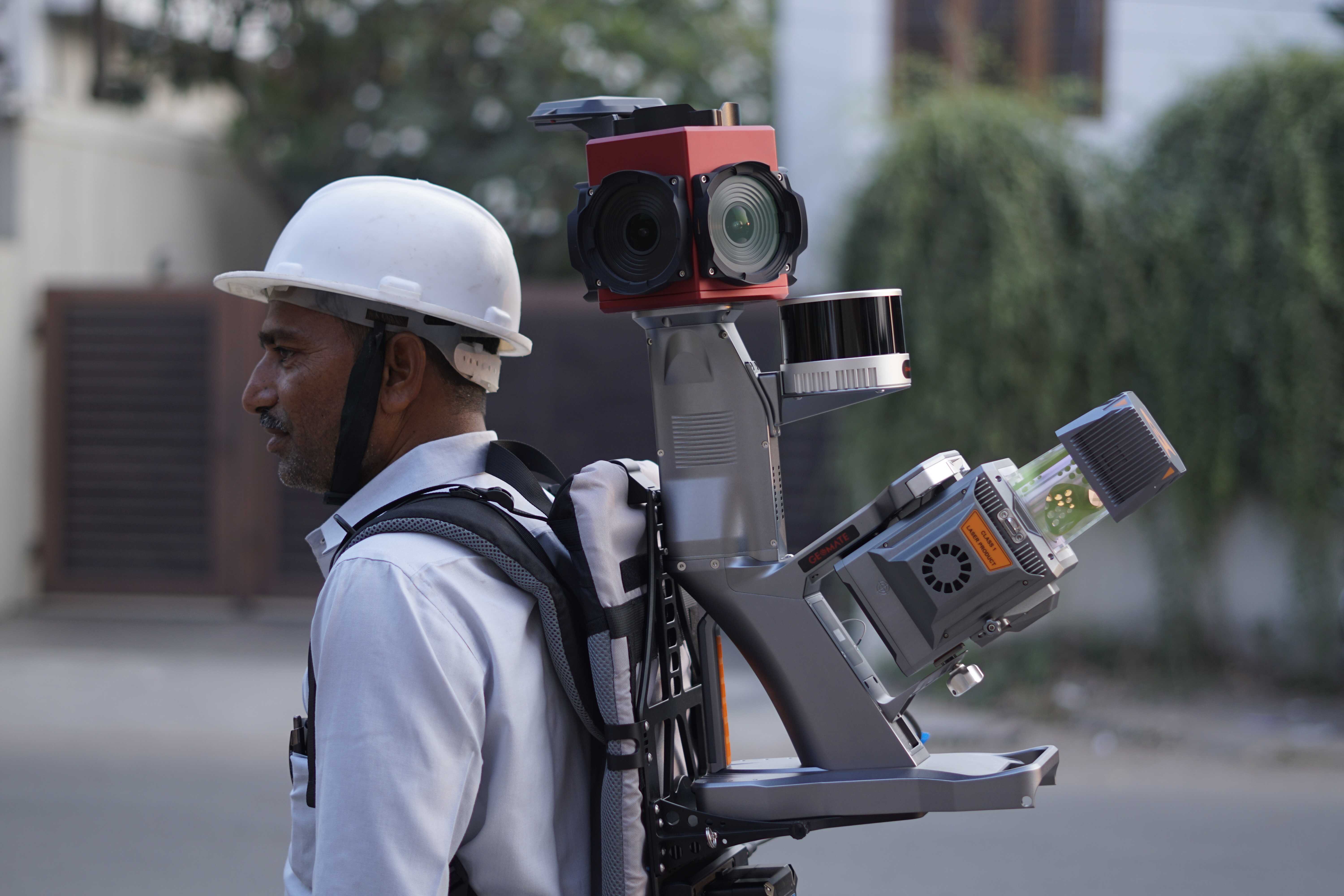
Backpack:
Designed for flexibility and accessibility, our backpack-mounted LiDAR systems enable detailed surveying in challenging and confined environments. Perfect for forestry, mining, our backpack-mounted LiDAR provides precise data collection in areas where vehicle or drone access is limited.
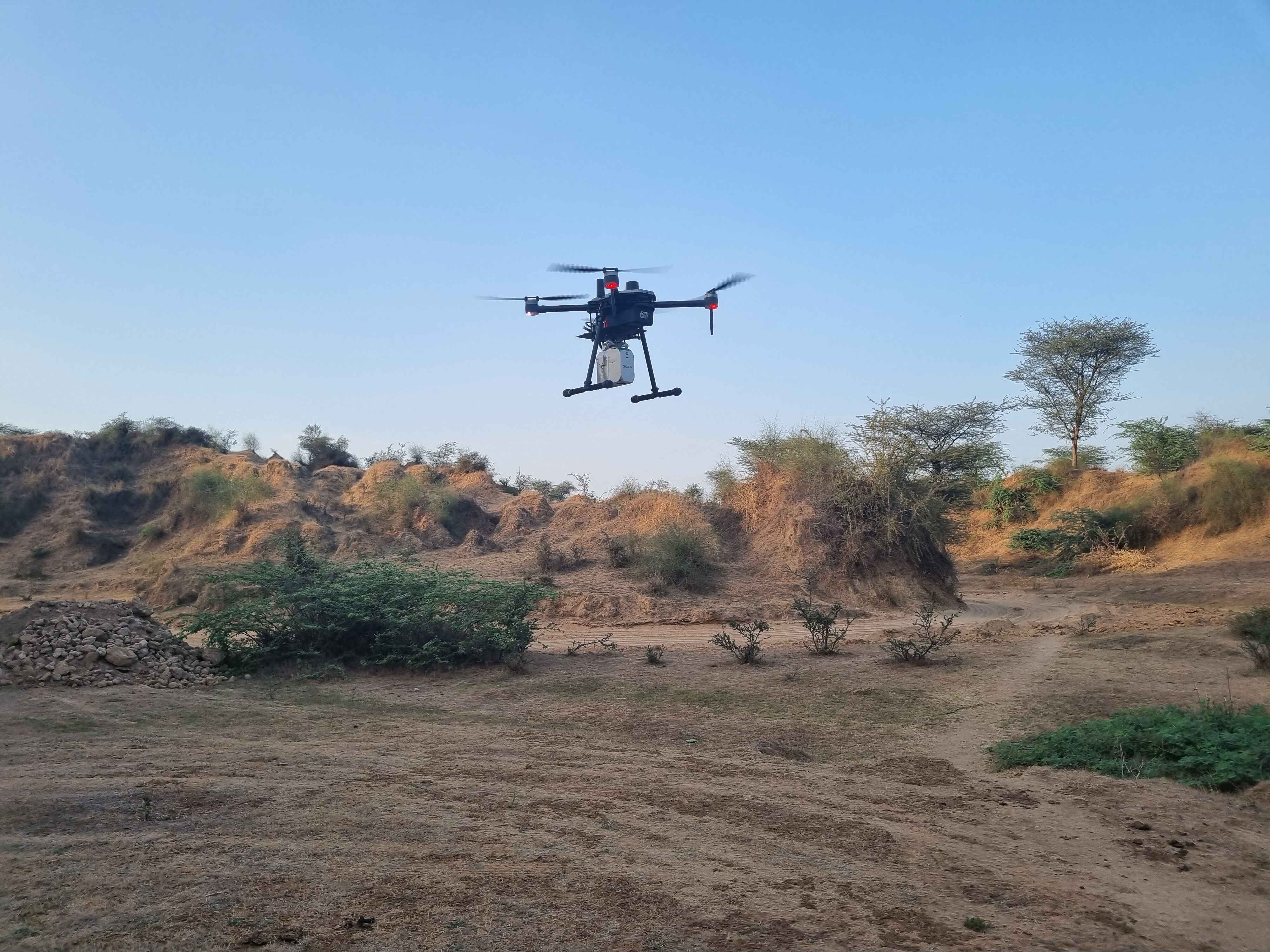
Drone:
Our drone-mounted LiDAR solutions offer aerial surveying capabilities. Ideal for topographical mapping and environmental monitoring, our drone-mounted LiDAR delivers high-accuracy data from above, ensuring comprehensive coverage and detailed analysis.