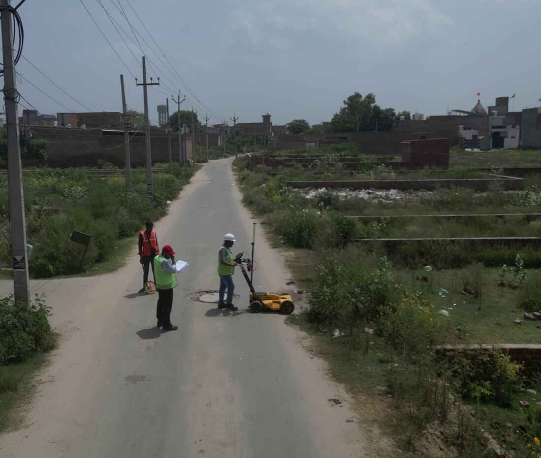
About GPR Survey
Our Ground Penetrating Radar (GPR) survey is a cutting-edge, non-destructive geophysical method designed to detect and map subsurface features and anomalies. By emitting radar pulses that penetrate the ground, our GPR system collects data from reflected signals, revealing changes in material properties and locating underground objects or structures. This versatile technology is essential for various applications, including utility mapping, geotechnical assessments, and concrete inspections. With our advanced GPR surveys, you gain precise insights into subsurface conditions, enhancing your project's accuracy and efficiency.
GPR BASED SURVEYS
- Utility detection
- Concrete scanning
- Road and pavement assessment
- Environmental investigations
- Geotechnical investigations


