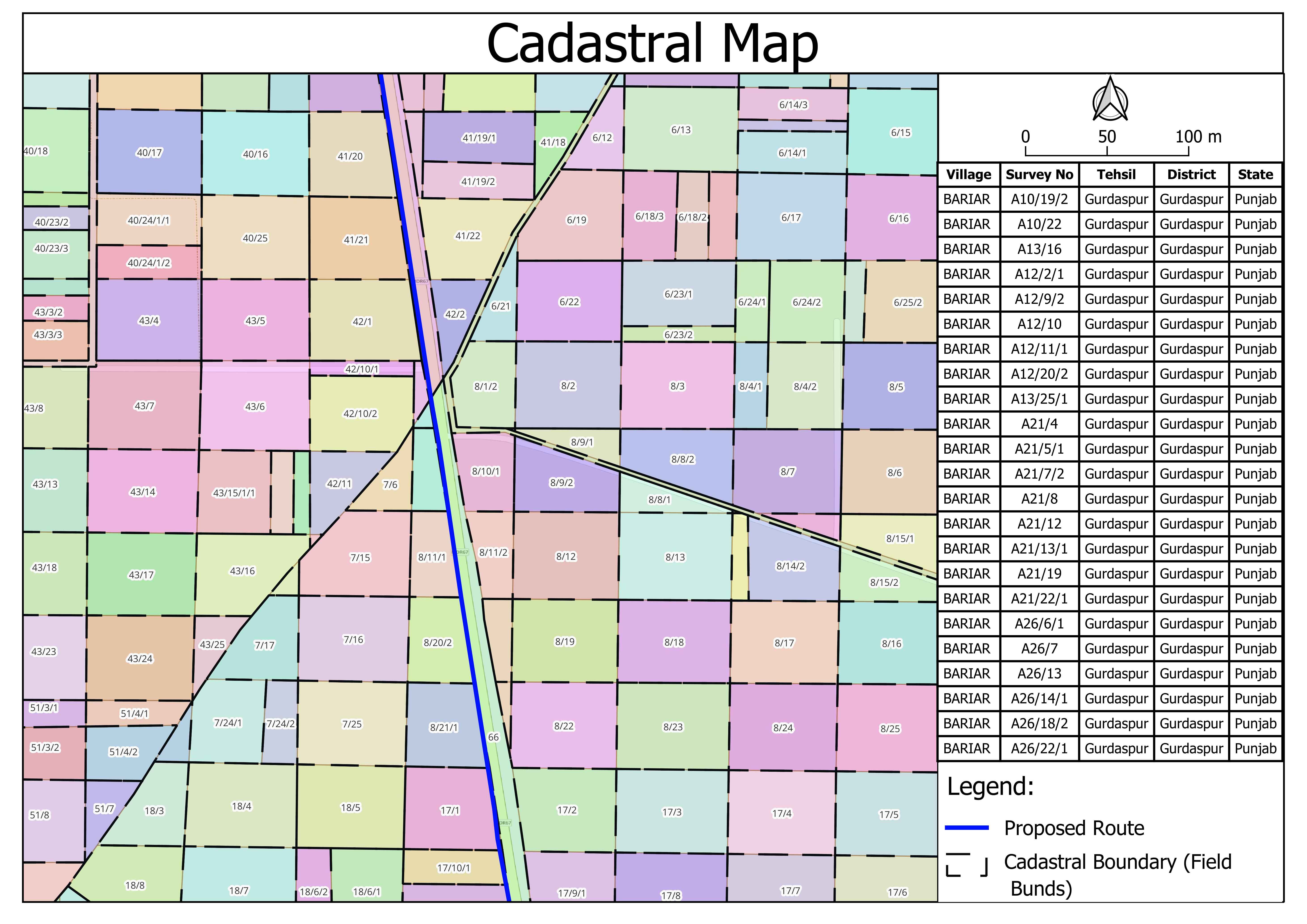
About Geo-Referencing & Digitization of Maps
Georeferencing is the assignment of geographic coordinates (latitude, longitude, and sometimes altitude) to objects, features or data points on the earth during surveying and related activities. It is crucial for accurate mapping, navigation, geographic information systems (GIS) and other applications in geodesy, cartography, land use, environmental monitoring and other fields.
Key Aspects of Our Georeferencing Survey and Related Services
- Surveying and Data Collection
- Coordinate Systems
- Geodetic Datums
- Control Points
- Georeferencing Software
- Ortho-rectification
- Applications
- Quality Control
- Geospatial Services
- Legal and Regulatory Compliance


