About Drone Survey
Embrace the future of surveying with cutting-edge Unmanned Aerial Vehicle (UAV) technology. Utilizing advanced downward-facing sensors, including RGB and multispectral cameras as well as LIDAR payloads, our drone surveys redefine precision and efficiency. During each survey, our UAV captures the ground in stunning detail from multiple angles, with every image meticulously tagged with precise coordinates. This innovative approach ensures comprehensive and accurate data collection, paving the way for insightful analysis and informed decision-making. Discover the unparalleled benefits of drone surveys and elevate your projects with the power of aerial intelligence.
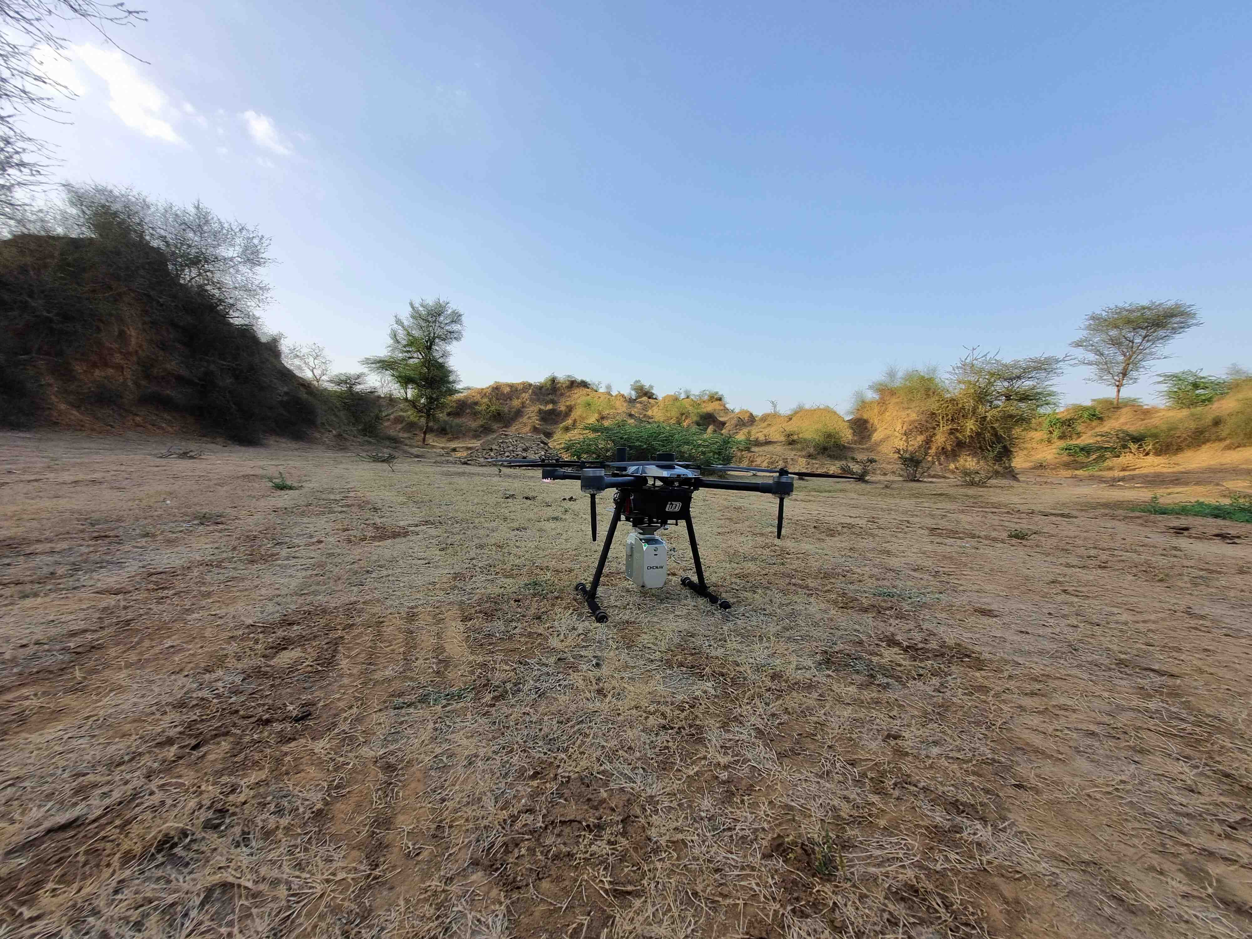
Drone
Experience the future of surveying with advanced Unmanned Aerial Vehicles (UAVs). Flying at lower altitudes than piloted aircraft or satellites, our drones capture high-resolution, high-accuracy data swiftly and cost-effectively. Equipped with RGB and multispectral cameras and LIDAR payloads, they operate independently of atmospheric conditions like cloud cover. Each image is precisely geotagged, ensuring comprehensive and reliable data for your projects. Elevate survey capabilities with cutting-edge drone technology.
Drone-Based Surveys
- Land surveying and cartography
- Orthomosaic maps
- 3D point cloud generation
- Digital Surface Models (DSM)
- Digital Elevation Models (DEM)
- Digital Terrain Models (DTM)
- Contour maps
- 3D textured maps
- Slope monitoring
- Land management and development


